Jasper
Municipality of Jasper · Alberta, Canada
Ice leaves a valley with the shape of its passing.
Also seen through Night Sky · all at Municipality of Jasper →.
Why here
Jasper is a place to read ice by what is missing. Mountains rise in long walls, valleys run between them, and the broad shapes are softer than a river would usually make them. Glacial ice once occupied the valleys and carried rock with it, grinding, widening, and leaving sediment behind. The present landscape is quieter, but the old movement remains in the geometry. Look from a lookout to a peak, then down into the low ground between. The valley is not empty space. It is the mark of the force that made it. Jasper’s plants and animals now use those marks, gathering where ice left soil, water, and open travel routes.
The sites
Valleys shaped by ice
Signal Mountain Lookout
52.8673, −117.9853
Signal Mountain Lookout gives the glacial landscape its long view. Peaks form the walls, while lower ground runs between them in the broad, continuous shape ice favors. From here, do not search for a single glacier. Search for the valley’s direction and width. Ice once filled the low route, and its movement left a corridor that water, trees, and animals now share. The lookout makes the scale legible: what looks like a gap from the road becomes the main landform from above.
Trace the lowest continuous line between the mountain walls. That broad route is the valley ice used, now occupied by water, trees, and travel through the range.
- AccessDrive-up
- ExertionEasy
- TimeAn hour
Mount Clairvaux
52.8058, −118.4166
Mount Clairvaux shows the mountain material rising above the valley floor. The peak’s layered rock belongs to a much older world than the ice that later shaped its outline. This is the useful order to keep in mind: rock first, ice second, living landscape third. A mountain can be ancient while its present slopes are recent work by glaciers, frost, and water. Look for the difference between steep exposed faces and gentler, vegetation-bearing slopes. The contrast records both resistance and erosion.
Compare the steepest face with the lower vegetated slope. Harder or more exposed rock remains sharp, while ice, weather, and soil have softened the lower ground.
- AccessHalf-day hike
- ExertionStrenuous
- TimeA full day
Arris Mountain
52.7792, −118.2595
Arris Mountain is a good place to see how a peak sits inside a glacial system rather than standing alone. The slopes descend toward valleys that collect water and sediment, and the ridge lines show where ice once pressed around higher ground. Look for broadness at the base and sharpness above. Ice tends to widen its route while leaving resistant high points behind. The effect is a landscape of shoulders, bowls, and passes, all connected by the old direction of movement.
Follow two valley lines upward until they meet a ridge. The meeting point shows how ice carved around high ground and left the ridge as a divider between its routes.
- AccessHalf-day hike
- ExertionStrenuous
- TimeA full day
Life in the glacial country
Basilica Mountain
52.8057, −118.3422
Basilica Mountain brings the living landscape into the glacial story. Elk use open valley ground, bighorn sheep favor steep slopes, and small flowering plants occupy places where soil and sun allow. Their differences are a map of the terrain. The animals do not need the same surface because the valley and mountains offer several at once. Stand where you can see the open lower country and the broken upper slopes together. The ice-made structure still decides where movement, shelter, and food are possible.
Look across the valley for the transition from open ground to steep rock. Elk and bighorn sheep use different parts of that glacially shaped terrain.
- AccessShort walk
- ExertionModerate
- TimeHalf a day
Bucephalus Peak
52.8223, −118.4444
Bucephalus Peak keeps the high country in view. At elevation, cold and exposure limit the trees, leaving rock, snow, and small plants to share the slopes. Great blanketflower can occupy open ground when the season allows, while common juniper holds lower and more sheltered places. The flowers are not decoration added after the geology. They are evidence of the conditions the glacial landscape creates: thin soil, short growing time, and bright open ground. Read the peak from the nearest plant outward.
Find a flowering plant in open ground and compare it with the nearest shrub or tree. Their positions show how exposure and soil depth sort life across the mountain slope.
- AccessHalf-day hike
- ExertionStrenuous
- TimeA full day
When it's best
The warmer months offer the clearest access to high trails and the best chance of seeing the valley structure without a full snow cover. Summer brings flowers and active wildlife, while early fall adds cooler air and changing color. Winter closes some high routes but makes the old glacial shapes stark and easy to read. Weather changes quickly in the mountains, so keep the larger landform in view even when the peaks disappear into cloud.
Go deeper
The names behind what you saw. The payload includes Neoproterozoic sedimentary rock and sedimentary rocks of the mountain ranges. Elk, Cervus canadensis, and bighorn sheep, Ovis canadensis, occupy the region.
To read next. - Jasper’s geological map — for the rock layers and glacial valleys behind the mountain views. - The park’s natural-history material — for how elk, sheep, and alpine plants use the terrain ice left behind.
The names behind what you saw
What lives here, and what it's called. Photographs from open collections — an aid to identification, not decoration.
-
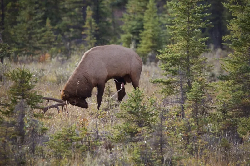
Elk Cervus canadensis -
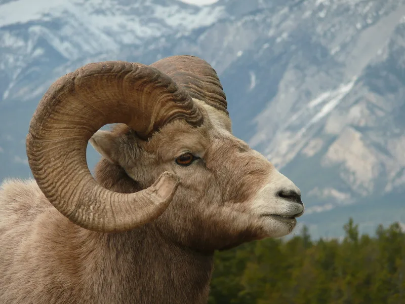
Bighorn Sheep Ovis canadensis -
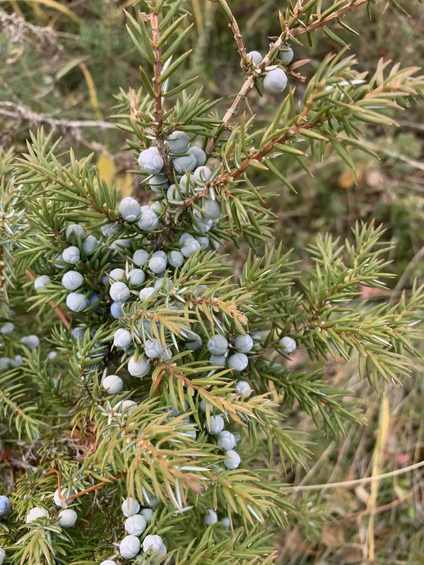
common juniper Juniperus communis -
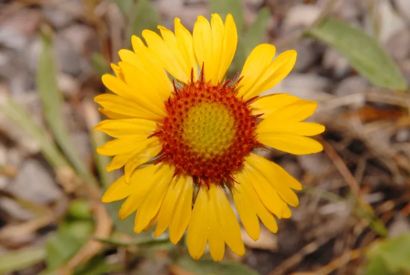
great blanketflower Gaillardia aristata -
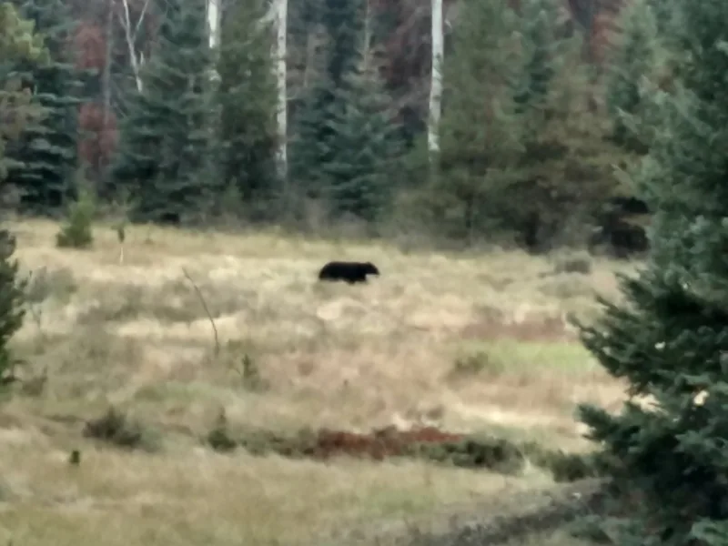
American Black Bear Ursus americanus -
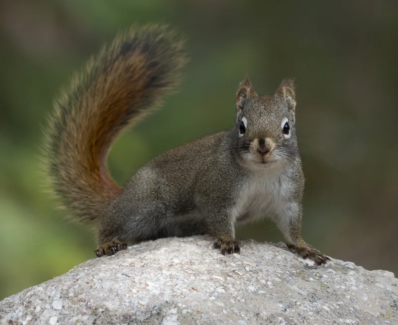
American Red Squirrel Tamiasciurus hudsonicus -
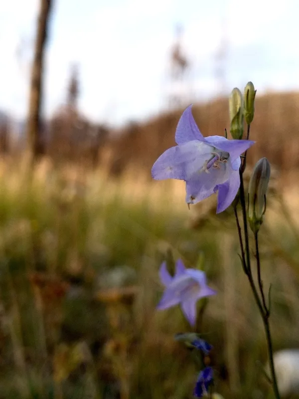
Alaskan bellflower Campanula alaskana -
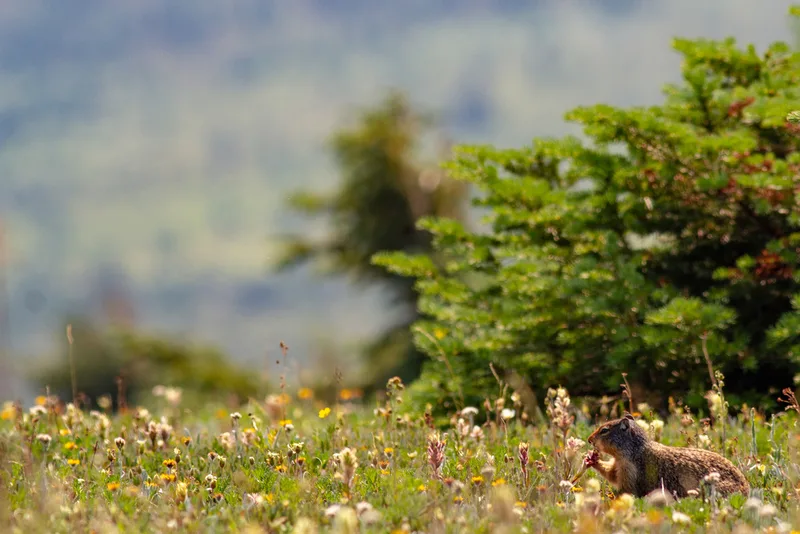
Columbian Ground Squirrel Urocitellus columbianus -
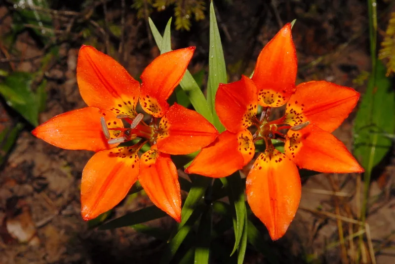
Wood Lily Lilium philadelphicum -
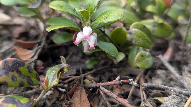
bearberry Arctostaphylos uva-ursi -
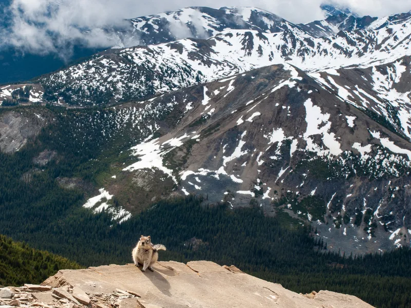
Common Golden-mantled Ground Squirrel Callospermophilus lateralis -
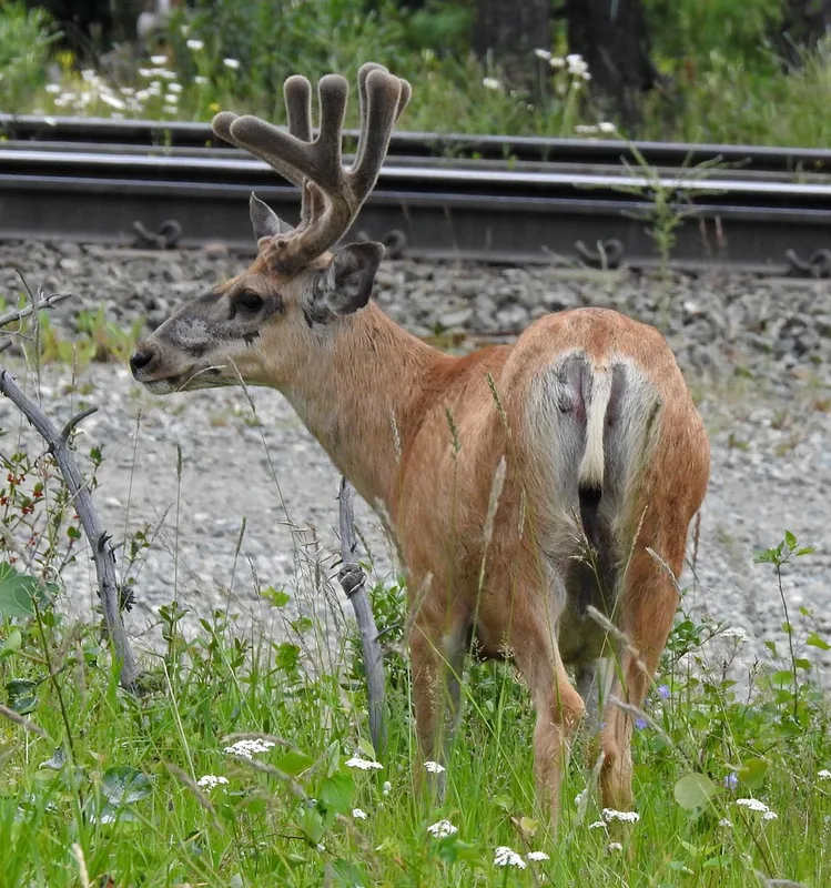
Mule Deer Odocoileus hemionus
Field Notes · Ice & Glaciers lens · Municipality of Jasper · 52.8752, −118.0824