Glacier Bay
The ice let go of this shore not long ago, and the sea has been moving in behind it ever since -- cold water, new ground, and already thick with wings.
Also seen through Ice & Glaciers · all at Bartlett Cove →.
Why here
Stand at the waterline in Bartlett Cove and you are standing on ground the ice only recently let go of. For most of this valley’s history there was no bay here at all – just ice, filling the basin from ridge to ridge and scouring everything beneath it bare. When the ice pulled back, the sea followed it inland, flooding ground that had been locked under glaciers, and it has been filling with life ever since. Sea ducks raft on cold, glass-flat mornings. Puffins and murres work the deeper water beyond the shore. A small seabird called the marbled murrelet is one of the species already at home on this new water. None of this is scenery added on top of a finished place. It is a young sea, still being colonized, animal by animal, in real time. Watch the water here and that is the one thing it keeps showing you: possession, taken freshly, by creatures that arrived the moment the ice allowed it.
The story
Long before there was any bay, this was sea floor of a very different kind. Deep beneath today’s water lie beds of limestone and hardened mud and sand, laid down in a warm, shallow sea hundreds of millions of years before any ice existed. That old floor was eventually lifted into mountains, and then, in the most recent sliver of that story, buried again – this time under ice, which filled the whole basin and ground it to bare rock.
The ice has only recently drawn back, and the sea that followed it in is young enough that its wildlife is still arriving. Sea ducks and diving seabirds crowd the cold water. A black oystercatcher is one of the birds working this shoreline. The marbled murrelet is here too, alongside Arctic terns and the rest of the seabirds already using this young sea.
People have mostly known this coast as a road rather than a destination. Ferries still thread the narrow straits, linking small communities that have no highway of their own. The water is not always gentle: one steamship, the Ancon, tore herself open on a rock in Icy Strait in the 1880s and, after limping away, was wrecked for good years later on a different shore. Buoy tenders have long kept the channel markers in place. In the last century, the whole basin was set aside for protection and eventually named, fittingly, for the ice that built it.
The sites
Where forest meets the tide
Bartlett Cove
58.4579, −135.9064
Bartlett Cove is the easiest place in the region to meet this water, a sheltered, shallow cove where forest runs right down to the tideline. It is a fair introduction to the whole idea of a young sea: the forest at your back is itself fairly new, grown up on ground the ice only recently uncovered, and the birds on the water in front of you cross the line between the two worlds constantly. Rafts of sea ducks ride the calm surface. Small diving seabirds surface, vanish, and reappear yards away. Along the shore, gulls work the tideline for whatever the water has left behind. One resident here does the forest-to-sea commute better than anything else: the marbled murrelet. Give the cove some time rather than a glance. The animals that use it are moving constantly between shore and water, water and forest, and the connections only show themselves to a patient watcher.
From the shore, watch the water just past the tideline for a small, dark seabird that dives and vanishes without a splash – a marbled murrelet. Binoculars help; it sits low on the water and is easy to lose.
- AccessShort walk
- ExertionEasy
- TimeHalf a day
Lester Island
58.4682, −135.8927
Lester Island is a low, forested island lying just off the cove, the southernmost in a small scatter of islands known as the Beardslees. Like the mainland shore, it shows the same young pairing of new forest and new sea meeting at a single line, but on an island the line runs all the way around, and there is no direction you can walk to get away from it. Sheltered channels separate Lester from its neighbors, calm enough water that rafts of ducks and resting gulls collect there on quiet days. Because the islands sit low and the passages between them are narrow, this is small-boat country rather than a place you can drive to, and the slower pace of a paddle suits the kind of watching it rewards. Come by kayak on a still morning and the island barely announces itself until you are close: a dark line of trees, a fringe of bare rock at the waterline, and, usually, more birds working the edge than the eye first catches from a distance.
Paddle the channel along the island’s shore and watch for a raft of ducks holding still in the calmest water, tucked just off the point where the current slackens. They gather where the water asks the least of them; find the calm water and you have usually found the birds.
- AccessExpedition
- ExertionModerate
- TimeHalf a day
The tide's low table
Bartlett Cove
58.4579, −135.9064
The same cove looks like a different place at low water. As the tide falls, it uncovers a wide shelf of mud and rock that the forest and the deep water both hide the rest of the time, and for an hour or two it becomes the richest feeding ground on this shore. Gulls walk the exposed flat, picking through what the retreating water leaves stranded. Long-legged shorebirds probe the softer mud at the edges for whatever lives just beneath the surface. None of it lasts: the tide always returns, burying the flat again until the next low water calls the birds back. Watching this stretch of shoreline over a single tide cycle is a fast education in how much a coastline changes without a single storm or season passing – twice a day, for free, the sea simply steps back and shows you what it has been hiding.
Time a visit to the hour or two around low tide and watch the exposed flat for a tall, long-legged bird probing the mud with a long bill – a yellowlegs, working ground that was underwater an hour before. A tide table makes the difference between an empty shore and a working one.
- AccessShort walk
- ExertionEasy
- TimeAn hour
Lester Island
58.4682, −135.8927
The rocky fringe around Lester Island is bared twice a day by the tide, and at low water it becomes feeding ground for whatever can reach it. Shorebirds work the edge methodically, and one resident does it better than the rest: the black oystercatcher. High tide erases the whole scene, covering the rock and sending the birds elsewhere to rest; low tide, especially a big one, exposes the widest shelf and the most food. The rhythm is entirely reliable even where nothing else about the weather is, which makes this one of the more predictable wildlife-watching windows in the area, provided you know the tide and can reach the island to use it.
At low tide, scan the bared rock for a black oystercatcher. A tide table tells you when the rock will be bare.
- AccessExpedition
- ExertionModerate
- TimeHalf a day
The deep road
Icy Strait
58.2569, −135.5138
Icy Strait is the broad, deep channel that carries this region’s cold water out toward the open gulf, and crossing it is the surest way to see the marine life that keeps to deeper water rather than a sheltered cove. Depth changes everything here. Where the coves nearby are shallow and still, the strait is a moving body of open sea, and its currents stir food up toward the surface along visible seams and slicks. Seabirds gather wherever the water is working: puffins and murres, gulls and kittiwakes that follow the feeding, terns working the surface in fast, diving passes. None of it is evenly spread. The birds are a visible map of where the current is doing something, and a crossing that looks like empty water from the middle can turn, at a current seam, into a working feeding line thick with birds in a few hundred meters. Give the water your attention on a crossing rather than the shore receding behind you; the sea’s business here happens on the move.
From the deck as you cross, watch for a change in the water’s surface texture – a smooth slick running beside a rippling line. That seam is a current, and it gathers small prey near the surface. Follow the birds working the seam rather than scanning open water; they will find the feeding line before you do.
- AccessExpedition
- ExertionEasy
- TimeHalf a day
Icy Strait
58.2569, −135.5138
Icy Strait has always been a road as much as a sea, and its human history is mostly a history of traffic and its hazards. Small ferries still thread these passages today, linking communities that have no highway connecting them to the outside world, much as earlier vessels did in the age of steam. The strait does not make that traffic easy. In the 1880s, an early steamship called the Ancon ran onto a rock here hard enough to tear herself open; she survived that grounding and limped away, only to be wrecked for good years later on a different stretch of the Alaska coast. None of it shows on the water’s surface today. But the strait a ferry crosses is the same one that has demanded steady, careful seamanship from everyone who has used it as a road, for about as long as anyone has kept a written record of the crossing.
Watch for a channel marker buoy as the boat passes – a simple, unglamorous post that Coast Guard tenders have serviced here for decades. It marks water that looks calm and has, at least once, torn a ship open; the marker exists because the strait cannot be read by eye alone.
- AccessExpedition
- ExertionEasy
- TimeAn hour
When it's best
This is a summer sea more than a winter one, at least for watching. The seabird crowd is thickest in the light months, when puffins, murres, guillemots, and terns are feeding hard to raise young, and the marbled murrelet is shuttling constantly between forest and tide. A calm, clear morning is the real prize here, any time it comes. Winter thins the seabird crowd but does not empty the cove; expect fewer birds, quieter water, and no reliable substitute for a calm summer morning to see the bay at its fullest.
Go deeper
The names behind what you saw. The rock beneath the bay is Paleozoic sedimentary rock – limestone, hardened mud, and sand – from the Northeastern Chilkat Range, laid down in the Silurian period hundreds of millions of years before any ice existed. The marbled murrelet is Brachyramphus marmoratus; the black oystercatcher is Haematopus bachmani; the Arctic tern is Sterna paradisaea; the tufted and horned puffins are Fratercula cirrhata and Fratercula corniculata; the harlequin duck is Histrionicus histrionicus.
To read next. No pre-vetted reading list came with this note, so these are general directions rather than specific titles: - Any overview of Glacier Bay National Park and Preserve – for how a monument became a full national park and preserve, and what the preserve portion protects along the Alsek River. - Glacier Bay Basin – for how this water connects, through international designations, to protected land reaching into Canada. - The Macrostrat column for the Northeastern Chilkat Range – for the old sea-floor rock that underlies all this young water. - The story of the steamship Ancon – for the hazards of Icy Strait, and the wreck it eventually suffered elsewhere on the coast. - The Alaska Marine Highway System and its ferries, such as the MV LeConte – for how this coast still functions as a road between small communities with no highway of their own. - eBird’s checklists for Bartlett Cove – a running, dated record of which seabirds are on the water through the year.
The names behind what you saw
What lives here, and what it's called. Photographs from open collections — an aid to identification, not decoration.
-
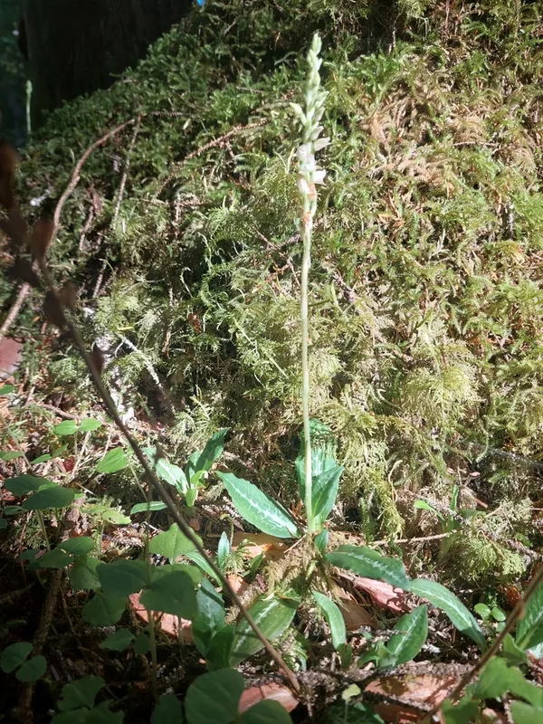
Western Rattlesnake Plantain Goodyera oblongifolia -
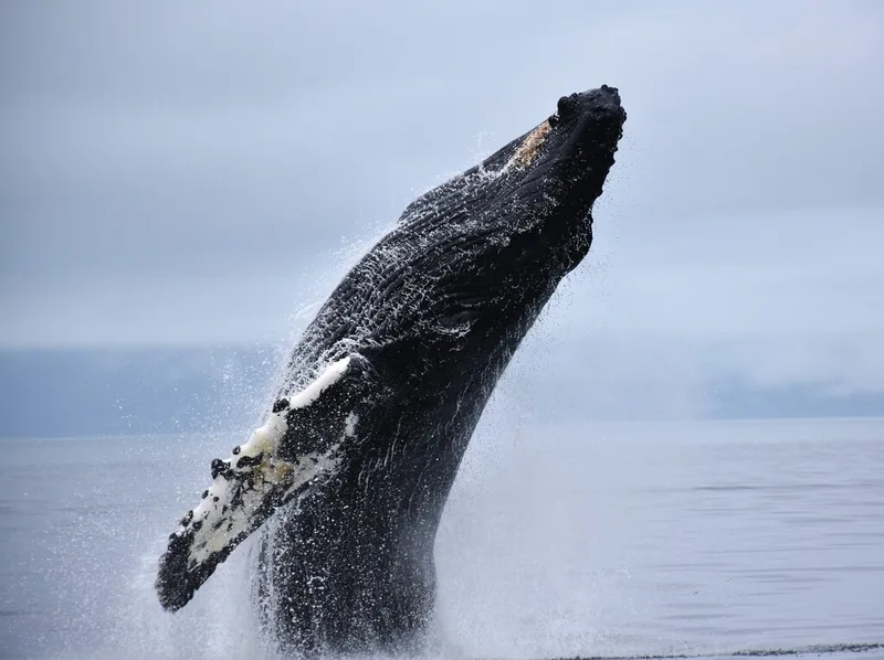
Humpback Whale Megaptera novaeangliae -
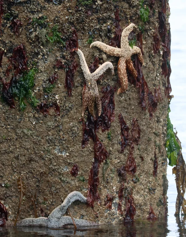
Mottled Star Evasterias troschelii -
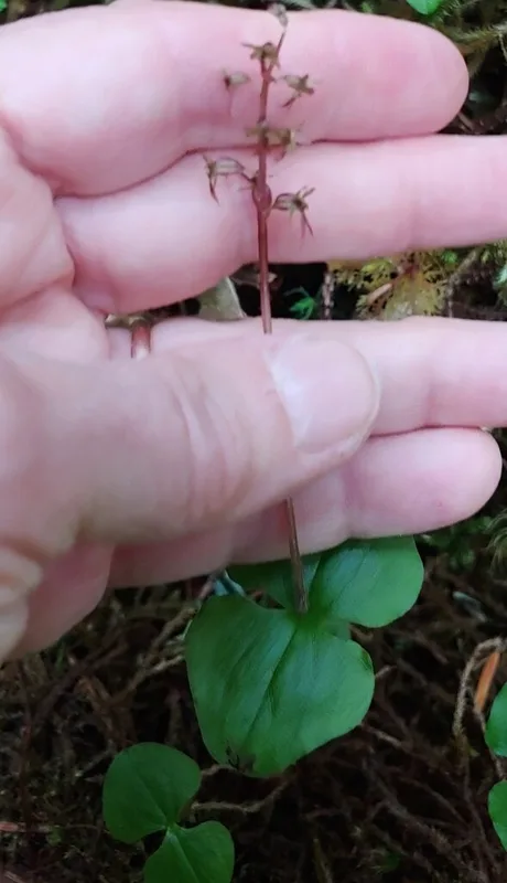
Heartleaf Twayblade Neottia cordata -
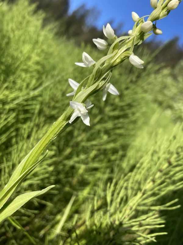
white bog orchid Platanthera dilatata -
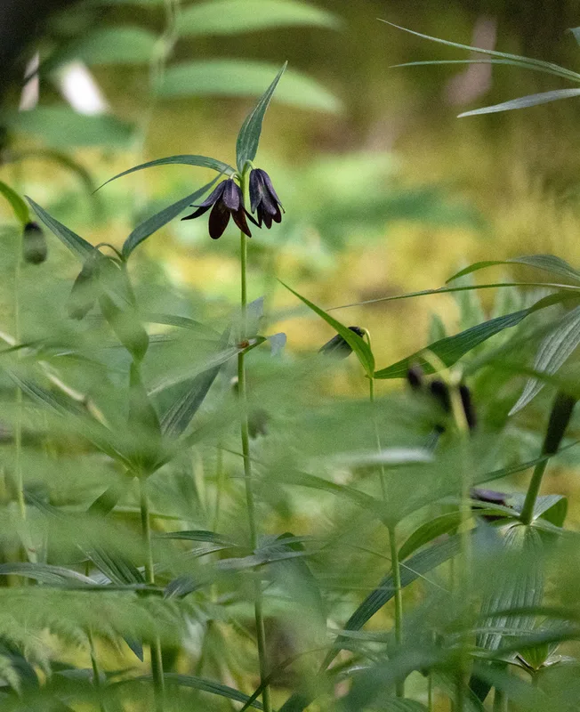
Rice root Fritillaria camschatcensis -
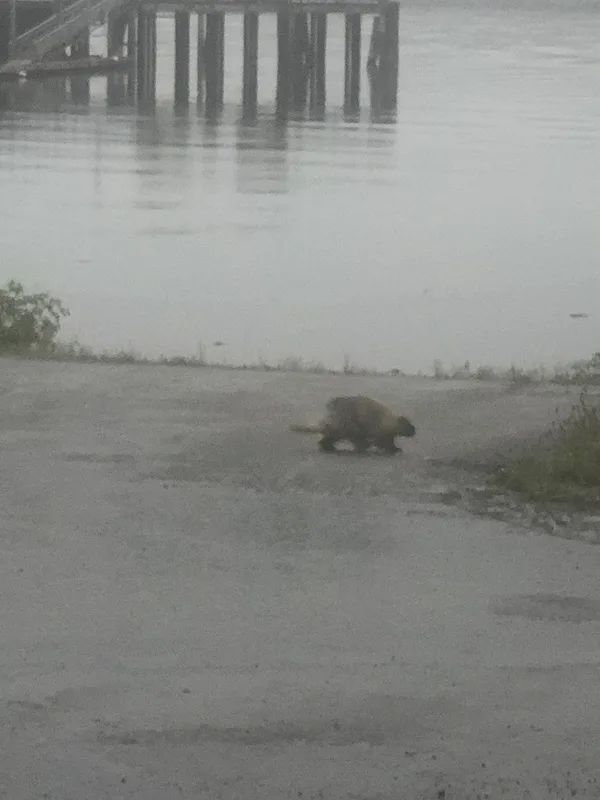
North American Porcupine Erethizon dorsatum -
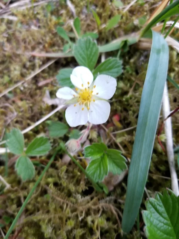
beach strawberry Fragaria chiloensis -
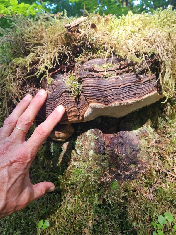
Ochre-banded Conk Fomitopsis ochracea -
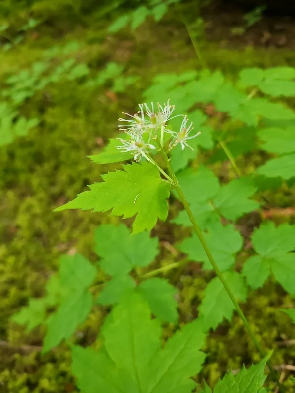
red baneberry Actaea rubra -
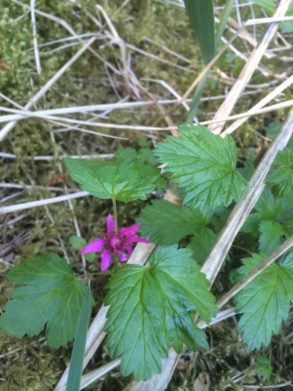
Arctic raspberry Rubus arcticus -
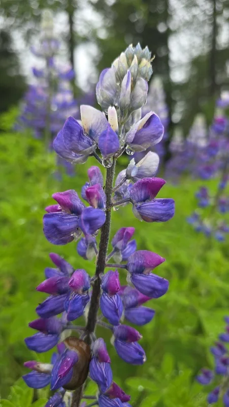
Nootka Lupine Lupinus nootkatensis
Field Notes · Marine lens · Bartlett Cove · 58.3625, −135.7101