Perito Moreno
Municipio de El Calafate · Santa Cruz, Argentina
A glacier is a river that moves too slowly for the eye to follow.
Why here
Perito Moreno is ice made visible at its front edge. The glacier arrives at the water, presses against the lake, and presents a wall whose cracks and blue shadows show that it is still moving. Around it, hills and wetlands carry the water and sediment that the ice has reorganized. The useful view is not only the wall. Look behind it toward the valley and outward across the lake. The glacier is a connector, carrying high mountain cold into a larger living system. Stand on the shore and wait for the surface to change. A small fall of ice can make the slow movement audible.
The sites
The moving front
Mirador
−50.3018, −72.3147
The Mirador puts you opposite the glacier’s front, where movement gathers into a vertical wall. Cracks divide the blue and white surface, and the lake holds the pieces that break away. Look for the difference between the high ice and the water below. The glacier is not a static cliff; it is a moving body meeting a resistant basin. The view becomes richer when you watch the front as a whole instead of waiting for one dramatic collapse.
Scan the front for fresh fractures and darker blue seams. Those lines are openings within moving ice, not marks painted on a fixed wall.
- AccessShort walk
- ExertionEasy
- TimeAn hour
Mirador "Balcon del Lago"
−50.3140, −72.3475
This lake overlook widens the glacier story beyond the ice front. Water, hills, and wetland occupy the lower country, while the glacier’s source lies farther into the mountains. From the balcony, follow the low route through the landscape. Ice has shaped the valley, but meltwater and sediment continue the work after the glacier passes. The lake is therefore part of the glacier’s body in a wider sense, receiving what the ice carries and giving it a new form.
Look for the lowest continuous route from the hills toward the lake. That line is where glacier water and sediment can travel after leaving the ice.
- AccessDrive-up
- ExertionEasy
- TimeAn hour
Water after ice
Lago Argentino - Humedal Calafateño
−50.3395, −72.2894
The wetland shows what glacier water becomes after it leaves the mountain. Shallow water, sediment, and open ground make a different habitat from the blue ice wall, but the connection is direct. Birds use the wetland’s edges, and the lake receives the material carried down from higher country. Stand quietly and look for the line where water becomes grass or mud. A glacier’s influence can be easiest to see far from the ice itself.
Watch the wetland edge for black-faced ibis or southern lapwing. Birds gather where shallow water and open ground meet, the same material the glacier has helped arrange.
- AccessShort walk
- ExertionEasy
- TimeHalf a day
The hills around the ice
Cerro Calafate
−50.3632, −72.2208
Cerro Calafate gives the lake a mountain frame. From its slopes, the valley reads as a route between higher rock and lower water, with the glacier’s work visible in the broadness of the ground. The summit is also a place to notice how life changes with elevation and exposure. Open hills carry birds and weather; sheltered wetland lies below. Keep the glacier in the larger view, but let the hill explain the country around it.
Look down from the hill toward the wetland and lake. The broad low ground is the valley ice shaped, now carrying water and living edges.
- AccessHalf-day hike
- ExertionModerate
- TimeHalf a day
Cerro Gualicho
−50.2937, −72.1934
Cerro Gualicho is another high point from which to see the glacier as part of a connected landscape. The ice wall can seem self-contained from the shore, but the surrounding hills show where water and sediment arrive from. Watch the changes in color across the lake and lower ground. Dark rock, pale sediment, and wetland green are different stages of material moving away from the glacier.
Find the pale sediment fans or wet ground below the darker hills. They show where water has spread material carried from higher country.
- AccessHalf-day hike
- ExertionModerate
- TimeHalf a day
When it's best
The warmer months offer the easiest access and the longest daylight for viewing the glacier and surrounding wetlands. Cooler seasons bring a quieter landscape and stronger contrast between ice, water, and dark hills. Cloud and wind can alter the wall’s color quickly. Give the lake time rather than expecting the glacier to perform on demand.
Go deeper
The names behind what you saw. The regional record includes Cenozoic sedimentary rocks. The ecology payload includes black-faced ibis, Theristicus melanopis, southern lapwing, Vanellus chilensis, and red shoveler, Spatula platalea.
To read next. - Glacier and lake geology for the region — for how ice, sediment, and water connect. - The wetland bird material in the payload — for life around the glacier’s meltwater.
The names behind what you saw
What lives here, and what it's called. Photographs from open collections — an aid to identification, not decoration.
-
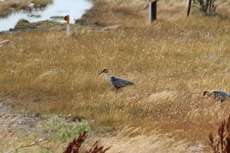
Black-faced Ibis Theristicus melanopis -
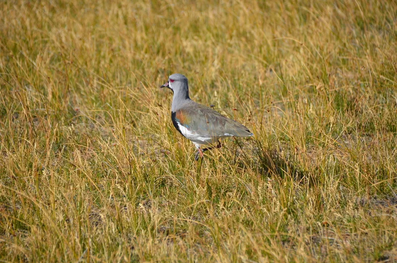
Southern Lapwing Vanellus chilensis -
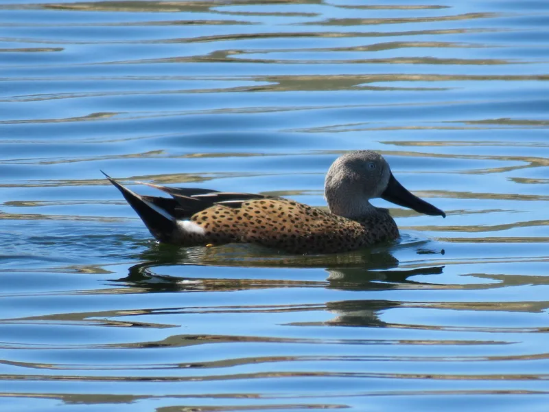
Red Shoveler Spatula platalea -
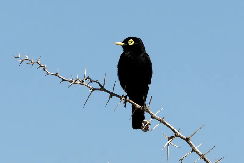
Spectacled Tyrant Hymenops perspicillatus -
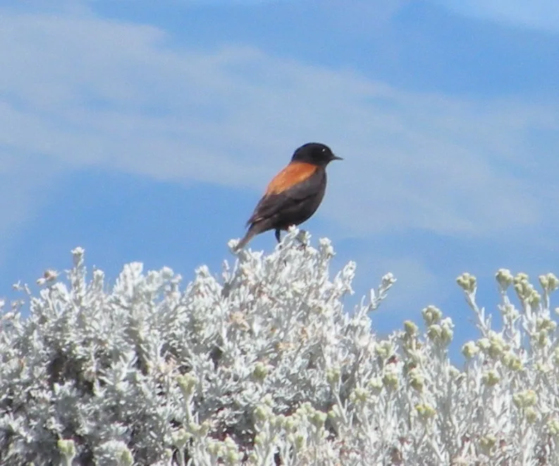
Austral Negrito Lessonia rufa -
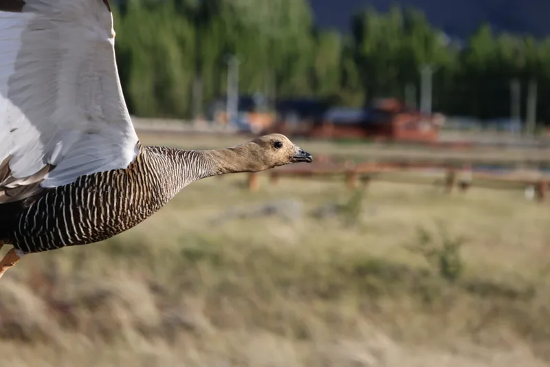
Upland Goose Chloephaga picta -
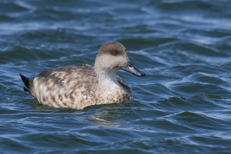
Crested Duck Lophonetta specularioides -
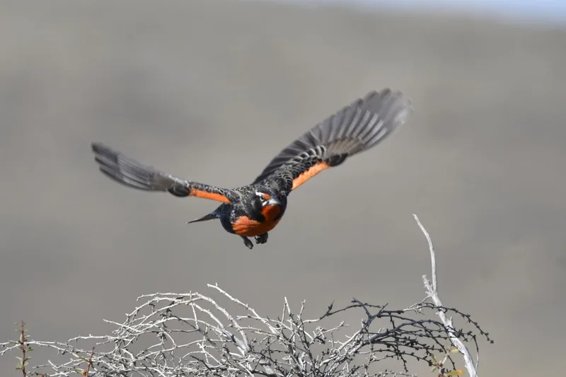
Long-tailed Meadowlark Leistes loyca -
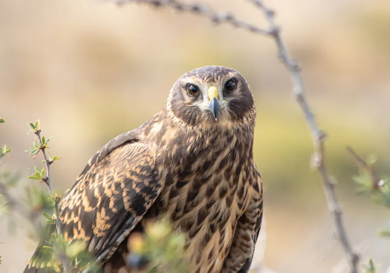
Cinereous Harrier Circus cinereus -
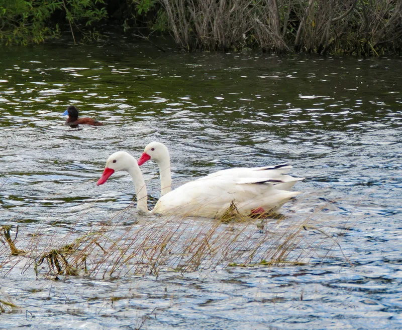
Coscoroba Swan Coscoroba coscoroba -
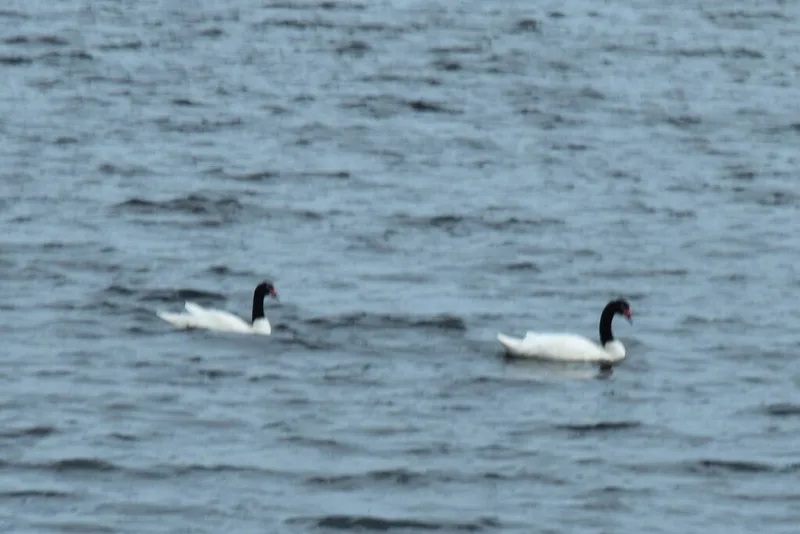
Black-necked Swan Cygnus melancoryphus -
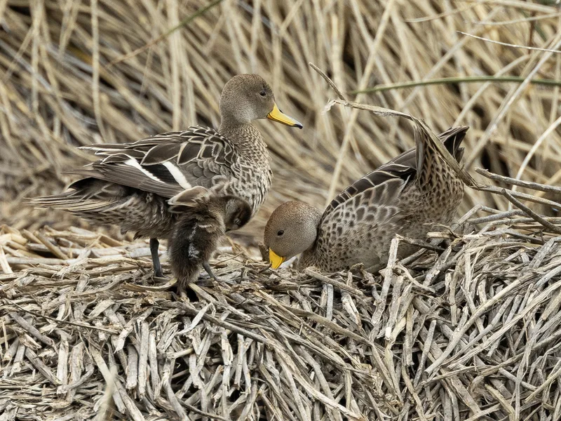
Yellow-billed Pintail Anas georgica
Field Notes · Ice & Glaciers lens · Municipio de El Calafate · −50.3387, −72.2737