Cabo Pulmo
Cabo Pulmo · Baja California Sur, Mexico
A coral reef this far from the tropics was never supposed to last this long.
Why here
Off a coastline where cactus and bare rock run straight to the water, a coral reef survives that by the usual rules should not be here. Corals need calm, steady, warm seas — the kind found on tropical shores far to the south, not this arid stretch of the Gulf of California, backed by desert peaks and cooled for part of the year by water rising from below. Yet the reef in this bay is the oldest of its kind anywhere on this side of North America, and the northernmost coral reef in the whole eastern Pacific. It has been growing quietly for roughly twenty thousand years, built by close to a dozen kinds of coral holding on where reef life, by most maps, should have given out long before. Everything else here follows from that one improbable fact: a salt marsh crowded with birds behind the beach, seabirds working the bare capes at either end of the bay, a rocky desert edge that drops straight into living reef. At every stop on this stretch of coast, keep noticing how much life gathers around a reef that has no business surviving this far from the tropics.
The story
The land came first, and it came from underground fire. Deep below what is now the coast, molten rock cooled slowly into the pale intrusive rock that still forms the two capes bookending this stretch of the Gulf of California — El Pulmo to the north, Los Frailes to the south. Only much later, long after that intrusive rock had gone quiet and risen into daylight, a layer of volcanic sand and ash settled over parts of the same coastline, a sign that this corner of the gulf kept getting remade long after its bones were set.
Onto that old rock the sea eventually built something rarer: a reef, and an old one, alive for something like twenty thousand years in water that should be too changeable for corals to keep a foothold. Slate pencil urchins, heavy-spined and easy to spot, graze the shallows around it. Behind the beach, a small lagoon holds a marsh crowded with herons, egrets, and terns, along with a small yellow-throated songbird.
People lived on this coast too. The Pericú were the Indigenous people of this cape country, though the record here is quiet on their presence at this particular bay. By the late seventeen-hundreds they had vanished as a distinct people and culture, and the sources say no more than that.
The sites
Where the reef meets the shore
Cabo Pulmo
23.4453, −109.4250
Cabo Pulmo is a small settlement strung along the shore, the base from which almost everyone reaches the reef offshore. There is no way to grasp this coast’s central fact — an old coral reef surviving far north of where reefs are supposed to grow — without starting from somewhere like this: a plain village, dry hills at its back, water in front of it doing something unusual. The village itself has no particular monument to see; its value is as a vantage point and a launch point, low enough on the shore that the reef and the capes bookending the bay are all within view or a short walk. Sit at the waterline for a while before heading anywhere else. The reef is offshore and mostly out of sight from land, but the water gives it away — clearer and calmer than the open gulf beyond it, sheltered by the same capes that frame this whole stretch of coast.
Look out across the bay from the shoreline and notice how flat and clear the water stays compared to the open gulf beyond the capes — the reef and the two headlands break the swell before it reaches this stretch of shore, which is exactly why life concentrates here.
- AccessDrive-up
- ExertionEasy
- TimeHalf a day
Cabo Pulmo Beach
23.4348, −109.4265
Cabo Pulmo Beach is the plainest way into the water here — a stretch of sand giving straight onto the shallow edge of the reef. Wade out a short way and the bottom changes from open sand to broken rock and coral, the start of a reef that has been building in this bay for something like twenty thousand years, longer than almost anywhere else on this coast of the continent. The shallow water close to shore is calmer and warmer than it looks from the beach, sheltered by the capes at either end of the bay, which is part of why the reef survives here at all, this far from the warm, stable seas reefs usually need. This is also the simplest place to see one of the reef’s grazers up close without a guide or a boat: the shallow rock is worked over by a dark, heavily spined urchin that clears space on the rock for itself and, indirectly, for the coral it shares the reef with.
Wade into the shallows near the beach and look along the broken rock at the reef’s edge for a squat, dark, heavily spined urchin gripping the surface. It grazes algae off the rock, keeping space open for the coral it shares the reef with — go slowly and watch where you put your feet.
- AccessDrive-up
- ExertionEasy
- TimeHalf a day
The intrusive-rock capes that frame the bay
Cerro El Pulmo
23.4447, −109.4369
Cerro El Pulmo is the intrusive-rock hill rising just behind the village, the high point on this end of the bay. From its slopes, the whole shape of the coast comes into view at once: the beach, the sheltered water over the reef, and the matching cape at the southern end of the bay holding the same water calm. The hill is part of the older story here — a slow-cooled intrusive rock that formed far underground long before there was a reef, a coast, or a gulf to hold one, later lifted and worn down into the shape you are standing on. Climbing it is less about the rock underfoot than the view it gives: the clearest single vantage on how the bay’s geography, two capes holding one sheltered stretch of water between them, is what let a reef take hold this far north in the first place, in a sea that elsewhere along this coast is too open and too changeable for one.
From high on the hill, trace the shoreline from this cape to the matching one at the bay’s far end and notice how both enclose the water between them. That shelter is the reason a reef could establish here at all — look for the color change in the water where open gulf gives way to the calmer water over the reef.
- AccessShort walk
- ExertionModerate
- TimeAn hour
Cabo Frailes
23.3867, −109.4169
Cabo Frailes is the intrusive-rock headland that closes the southern end of the bay, the matching bookend to the hills above Cabo Pulmo to the north. Like its northern counterpart, it is built of old intrusive rock that cooled deep underground long before this coast existed in its current shape, later exposed as the softer ground around it wore away over a very long stretch of time. Bare capes like this one matter to more than the geology of the coastline: with no easy way for a person or a land predator to reach the rock face, seabirds use ledges like these to rest, safe above water rich enough to feed them without much competition for space. Stand here and you are looking at both ends of the coast’s argument at once — hard old rock holding the shape of a bay, and a living reef surviving in the calm water that shape creates.
Scan the bare rock face of the cape for seabirds resting on ledges out of easy reach — pelicans and gulls are the likeliest to be perched here, drawn by the safety of the rock and the food in the water below it. Binoculars turn a distant smudge into a bird.
- AccessShort walk
- ExertionModerate
- TimeAn hour
Cerro Los Frailes
23.3872, −109.4192
Cerro Los Frailes rises just inland of the southern cape, a second intrusive-rock high point mirroring Cerro El Pulmo across the bay. Standing on one and looking to the other is the fastest way to understand this whole stretch of coast: two old, hard hills holding a soft crescent of water between them, calm enough for a reef to grow in a sea that, not far away, is too rough and too changeable for one. Like its northern twin, the hill is built of intrusive rock that cooled far underground long before either cape stood above the water, part of the same old foundation that shapes this whole piece of the gulf coast. It has no facilities and no marked trail beyond a rough track, and its value is entirely the view — the bay laid out below, the reef’s calmer water visible as a subtle change in color against the open gulf beyond the capes that frame it on both ends.
From the hill, look north across the bay to the matching hill above Cabo Pulmo and trace the curve of shoreline between them. The whole shape is a natural breakwater; find where the water’s color shifts to calmer blue-green over the reef, distinct from the darker open gulf beyond the capes.
- AccessShort walk
- ExertionModerate
- TimeAn hour
Los Frailes
23.3775, −109.4353
Los Frailes is the smaller settlement at the bay’s southern end, sitting in the shelter of its namesake cape. Like Cabo Pulmo to the north, it exists because the same geography that lets a reef grow here also makes a decent anchorage: a hard point of intrusive rock breaking the swell, calmer water behind it, and a coastline shaped by the same old, slow-cooled rock found at every cape along this stretch. There is little built up beyond the basics here, and that is part of the point — a working stretch of shore rather than a resort front, close enough to the cape and the hill behind it to serve as a quieter base for exploring the bay’s southern half and the reef edge nearest it, away from the busier village to the north, with the same water, the same rock, and a good deal less company along the shore.
From the shore at Los Frailes, watch the water just off the point for pelicans folding into dives — the same sheltered, food-rich water that lets fishermen anchor here easily is what draws the birds.
- AccessDrive-up
- ExertionEasy
- TimeAn hour
The marsh behind the beach
Lagunitas de los Frailes
23.3897, −109.4290
Lagunitas de los Frailes is a small lagoon system tucked behind the coast near the southern cape, the kind of quiet wetland a beach-and-reef visitor could easily miss. Where fresh water gathers and stalls before reaching the sea, a marsh forms, and marshes like this one concentrate life much the way the reef does offshore, just for a different set of animals entirely. Herons and egrets stalk the shallow edges, coots and grebes work the open water, and, for a patient watcher, the marsh is one of the few places on this coast to see Belding’s yellowthroat, a small yellow-and-olive marsh bird. It is a slower, quieter counterpart to the reef sites nearby, worth the detour on foot — the same coast’s abundance, working through a different set of species and a different kind of water.
Move slowly along the marsh edge and listen before you look — Belding’s yellowthroat gives a dry, buzzy call from low in the reeds before it shows itself. It stays low and close to cover, so patience matters more than binoculars here, though binoculars help once you’ve located the sound.
- AccessShort walk
- ExertionEasy
- TimeAn hour
When it's best
This stretch of the Gulf of California runs warm for most of the year and reliably dry, so the difference between seasons is mostly a difference in how hot the water gets. Whatever the season, rain is rare enough that a washed-out visit is not the real risk here.
Go deeper
The names behind what you saw
The reef’s spiny grazer is the slate pencil urchin, Eucidaris thouarsii. The marsh songbird behind the beach is Belding’s yellowthroat, Geothlypis beldingi. The pelicans working the capes are brown pelican, Pelecanus occidentalis. The rock of the two headlands is Cretaceous-age intrusive igneous rock, formed between 145 and 66 million years ago, long before the reef existed; the younger layer along parts of the coast is a Neogene volcaniclastic deposit, built from volcanic sediment rather than lava itself.
To read next
- The Wikipedia entry for Cabo Pulmo National Park is the fullest short account of the reef’s age, size, and the number of coral species it holds.
- The Wikipedia entry on the Pericú lays out, plainly and briefly, what little the record preserves of the Cape region’s original people.
- General reading on marine protected areas is worth a look for the basic logic of why keeping fishing pressure off a stretch of reef lets its life rebound.
- General background on the Gulf of California’s biology helps place this one bay inside a larger sea that is unusually productive for its size.
The names behind what you saw
What lives here, and what it's called. Photographs from open collections — an aid to identification, not decoration.
-
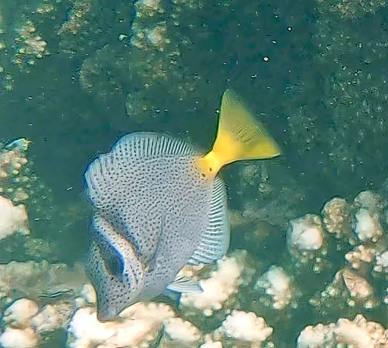
Razor Surgeonfish Prionurus laticlavius -
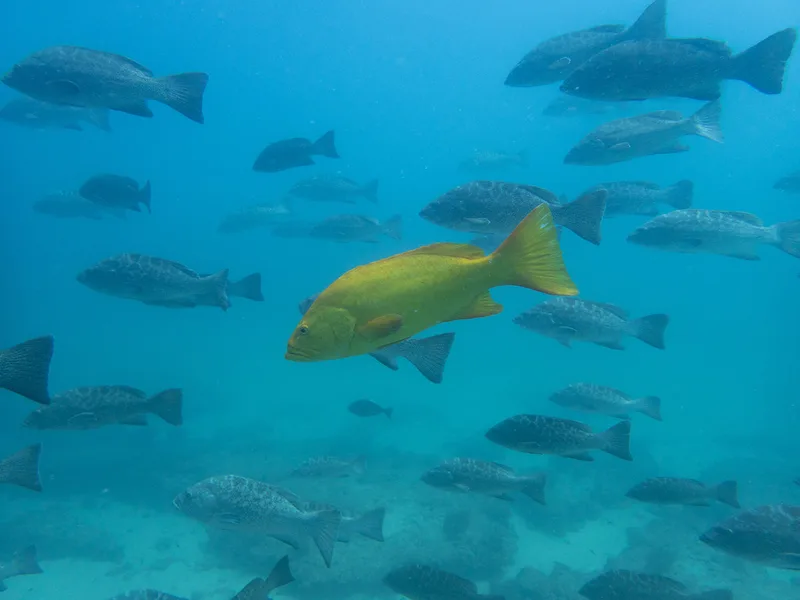
Leopard Grouper Mycteroperca rosacea -
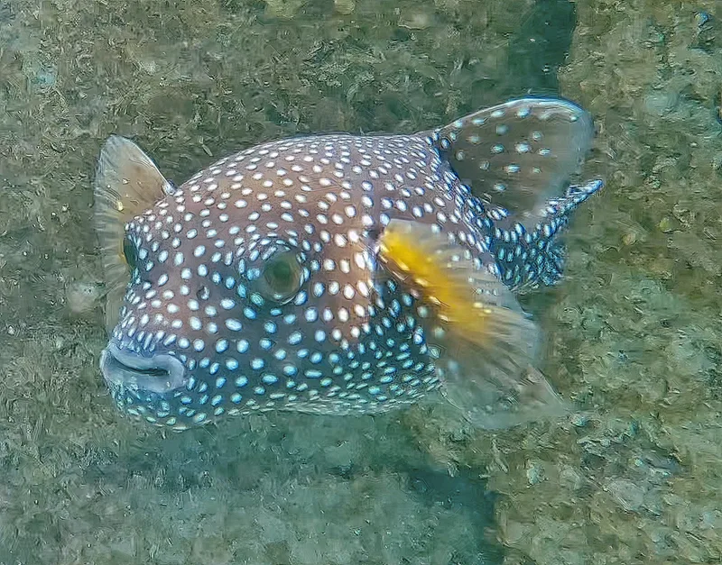
Guineafowl Puffer Arothron meleagris -
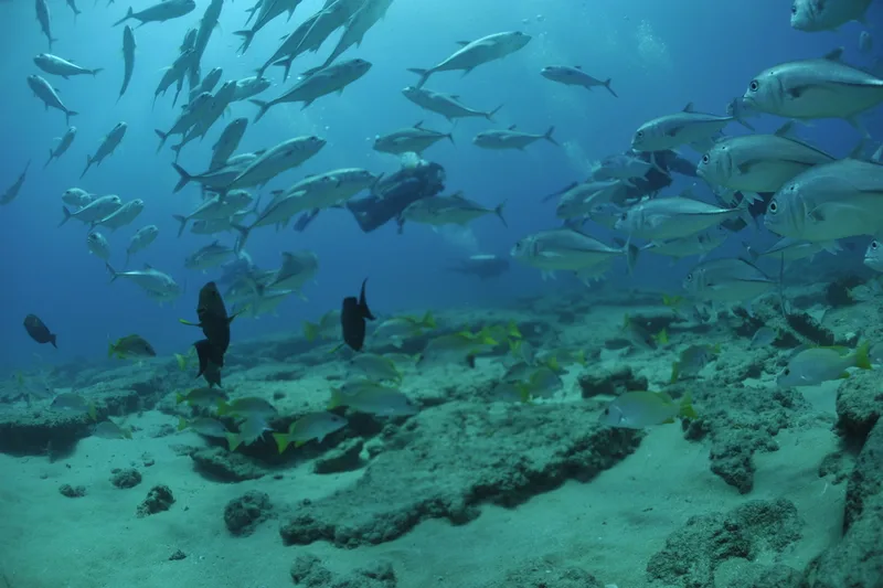
Bigeye Trevally Caranx sexfasciatus -
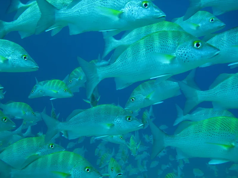
Graybar Grunt Haemulon sexfasciatum -
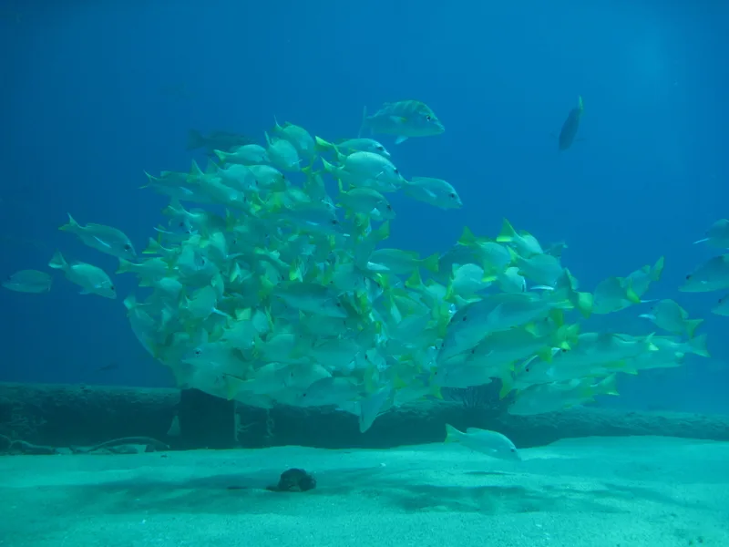
Yellow Snapper Lutjanus argentiventris -
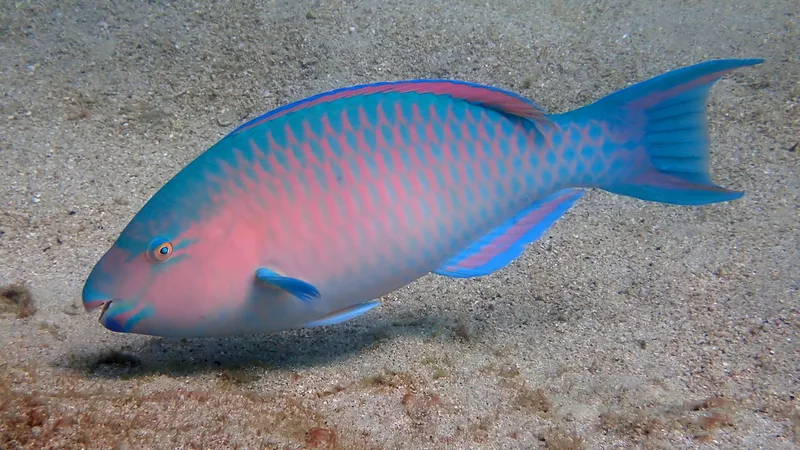
Blue-barred Parrotfish Scarus ghobban -
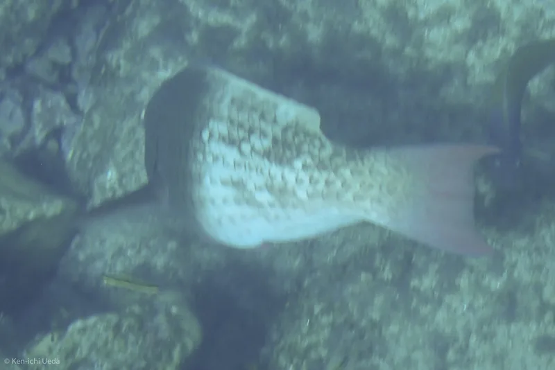
Redlip Parrotfish Scarus rubroviolaceus -
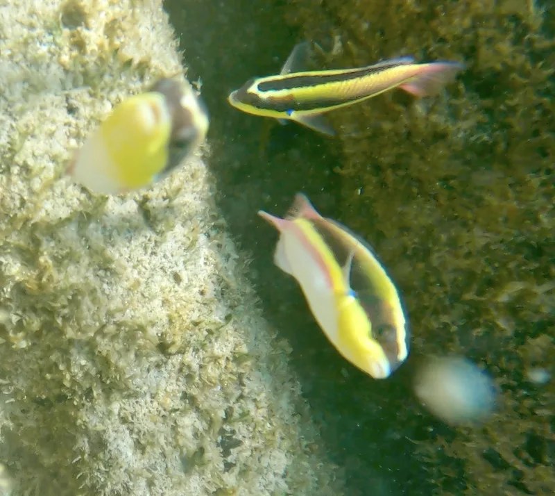
Cortez Rainbow Wrasse Thalassoma lucasanum -
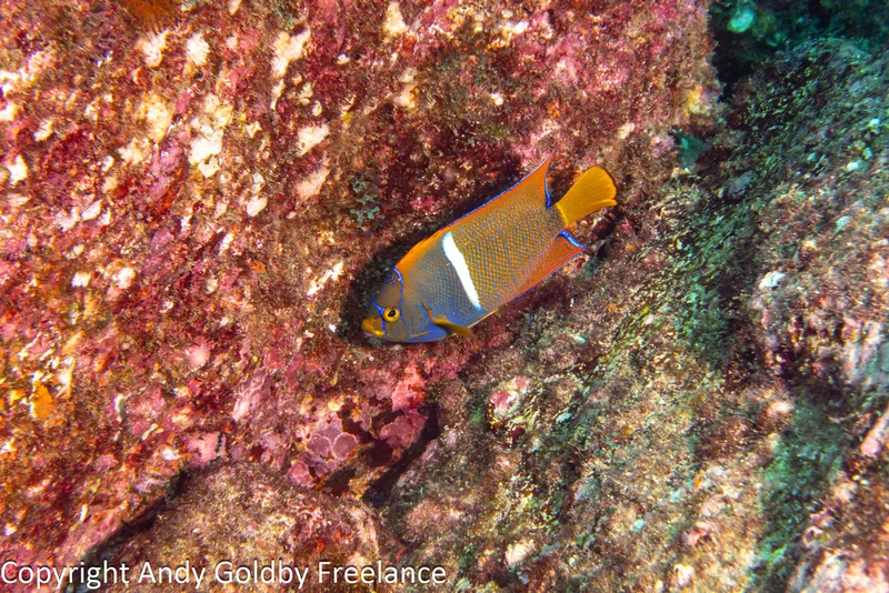
King Angelfish Holacanthus passer -
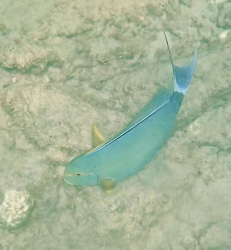
Yellowfin Surgeonfish Acanthurus xanthopterus -
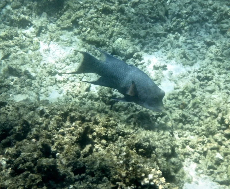
Mexican Hogfish Bodianus diplotaenia
Field Notes · Marine lens · Cabo Pulmo · 23.4114, −109.4269